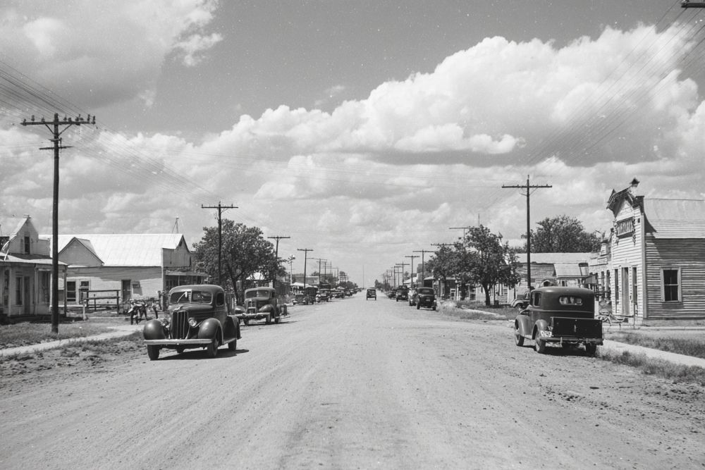
Hockley County. This is one of the unorganized counties in the Staked Plains region, County boundaries were formed in 1876, but up to the present time the county has been given over to ranch owners and practically its entire area is enclosed in the great pastures which a few years ago were the rule in all West Texas. The county lies just west of Lubbock, and the building of railways in that section during the last four or five years has made the lands of Hockley County more available for the agricultural settler. The Pecos & Northern Texas division of the Santa Fe system crosses the extreme northeastern corner of the county.
In 1900 the population was 44; in 1910, 137, and in 1920, 137. There were five farms or ranches in 1900 and twenty-three in 1910. The total area is 554,880 acres, of which 181,432 acres were included in farms in 1910. The amount of "improved land" in 1900 was 360 acres, and 2,657 acres in 1910. While the grazing of live stock is the chief industry, the numbers of live stock are much smaller than in many other sections of the state. In 1910 the number of cattle was 8,272, and 271 horses and mules ; in 1920, 15,650 cattle and 384 horses and mules. In 1909, 479 acres were planted in corn ; 544 acres in hay and forage crops, and 133 acres in kaffir corn and milo maize.
The assessed wealth of the county in 1909 was $475,715 ; in 1913, owing to the building of the railway and increased development, the valuation was $1,129,904, and in 1920, $2,849,500. - History of Texas, 1922, by W. Barrett Travis.
33° 35' 14.352" N, 102° 22' 40.656" W
See map: Google Maps, Yahoo! Maps, MapQuest


