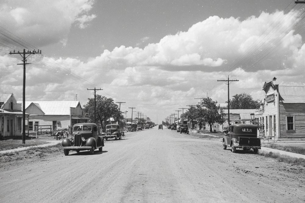
Hall County. The first Panhandle railroad, the Fort Worth & Denver City, completed in 1888, crossed the northeast corner of Hall County and inaugurated an era of town building and agricultural development in a section which had for a dozen years been pre-eminently the home of the stockman. At the census of 1880, Hall County had a population of only 36. By 1890 the inhabitants numbered 703, and in spite of the hard conditions which prevailed here, as elsewhere, during the '90s, the population by 1900 was 1.670. Since the beginning of the present century, Hall County has become well settled, and in 1910 the census enumerated 8,279 people residing within its boundaries ; in 1920, 11,137, showing 34.5 per cent increase. The county seat is Memphis, one of the flourishing towns of the Panhandle, with a population in 1910 of 1,936; in 1920, 2,855. Two other railroads towns are Newlin and Estelline, while several other postoffices and store centers are found in the back districts of the county.
Hall County was created in 1876 and was organized June 23, 1890. While the early agricultural settlers in this and other sections of the Panhandle fell short of success because they depended upon methods long in vogue in other states, the modern farmers of the present century have conformed to local conditions, and in consequence Hall County produces an important share of the splendid aggregate of crops raised in the Panhandle. In 1900 there were only 219 farms and ranches in the county, but by 1910 this number had increased to 1,028. The total area of the county is 576,640 acres, of which 458,250 acres were in cultivation, and by 1910 about 117,000 acres were "improved land." Cotton is still the leading money crop, but diversified farming is increasing and the growing of the Panhandle staples. including alfalfa, along the bottoms of the Red River Valley, and also horticulture, are receiving greater attention every year. In 1909, 51,649 acres were planted in cotton; 14,317 acres in hay and forage crops, including about 200. acres in alfalfa ; 11,649 acres in kaffir corn and milo maize, and 10,850 acres in corn. About 16,000 orchard fruit trees were enumerated and most of the homeowners raised fruit and vegetables. The last census reported 21,350 cattle ; 7,065 horses and mules. In 1903 the valuation of property in the county was $1,838,331 ; by 1913, the valuation was $5,982,217, and in 1920, $9,701,273. - History of Texas, 1922, by W. Barrett Travis.
34° 43' 29.208" N, 100° 32' 2.436" W
See map: Google Maps, Yahoo! Maps, MapQuest