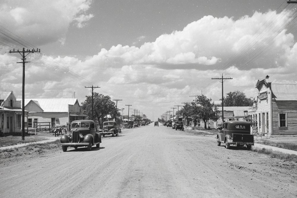
Liberty Grove was a small farming community at the junction of Farm Road 1880 and a dirt thoroughfare, on Doctors Creek and the South Sulphur River, south of Cooper in south central Delta County.
The area was originally part of the E. R. Crowder Survey. Pioneers had arrived by 1854, when the Liberty Grove School was organized. Early settler Charles Nidever donated land for a cemetery in 1867. By 1905 the school enrolled forty-four white students and employed two teachers. In 1936 the community consisted of the school and the cemetery, surrounded by a scattered collection of farms. Cooper Independent School District absorbed the school in the late 1940s. Liberty Grove was shown on a 1964 map as a few scattered homes, and in 1966 its residents numbered twenty-five.
The 1984 county highway map showed a sawmill, a grain elevator, and the Liberty Grove Cemetery at the site. The cemetery was still in use in 1988. In 1989 the construction of the Cooper Dam on the South Sulphur River necessitated the relocation of Liberty Grove Cemetery to a site on Farm Road 1880 south of Cooper. With impoundment in 1991, the site of the community was inundated by the waters of Cooper Lake. Liberty Grove Camping Area in the nearby Doctors Creek Unit of Cooper Lake State Park commemorates the community.
33° 19' 52.392" N, 95° 41' 49.848" W
See map: Google Maps, Yahoo! Maps, MapQuest


